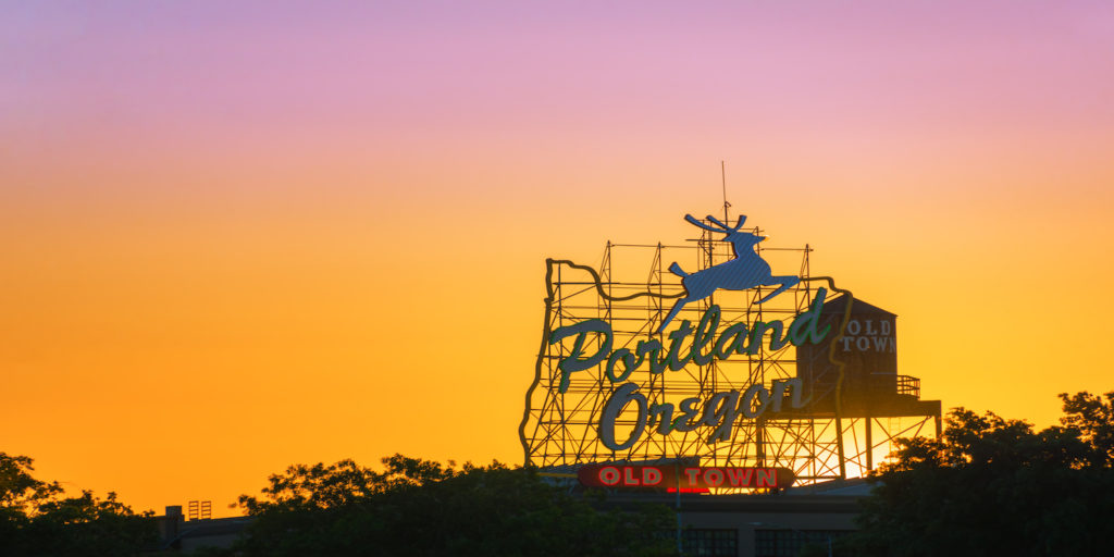
Did you know that Portland has more than 90 formally recognized neighborhoods? Like pieces in a puzzle, all these diverse communities fit snugly into geographic boundaries, known throughout the city as quadrants. Interestingly enough, there aren’t four quadrants like the term suggests, but rather six. They are: North, Northeast, Northwest, South, Southeast and Southwest. The most recent quadrant, South Portland, was officially designated by the city in 2020. For easy orientation, the city is divided into east and west by the Willamette River, and from top to bottom, north and south, by Burnside Street.
And while Portland is relatively straightforward to navigate, that wasn’t always the case. Dubbed the “Great Renaming of 1931,” the city streamlined and codified its street and numbering system, just as Portland was experiencing growing pains caused by an influx of residents and construction. Duplicate street names were removed and simplified. It was decided that north-to-south roads would have names ending in street, while east-to-west streets would end in avenue. (There are some notable exceptions, like Northeast Sandy Boulevard and Southeast Hawthorne Boulevard.) Businesses were given two years to make the appropriate changes and the city even paid for and installed house numbers for residents.
Pro tip: look closely and you might even find those original white tiles with black, block numbers on houses and buildings. And if you do get lost, just look up. Many of the city’s green street signs have the intercardinal quadrant designations before the street name.
- Your Toddler Can Create This Summer’s Viral Hit Here - May 2, 2024
- Top 5 Places to Learn about Black History in Portland - February 20, 2024
- New Asian Restaurants for the Whole Family - January 25, 2024


